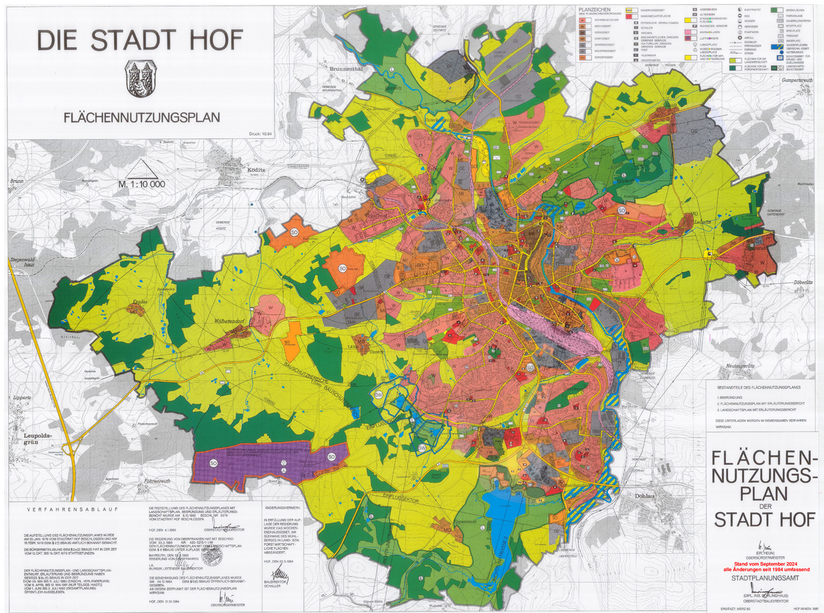
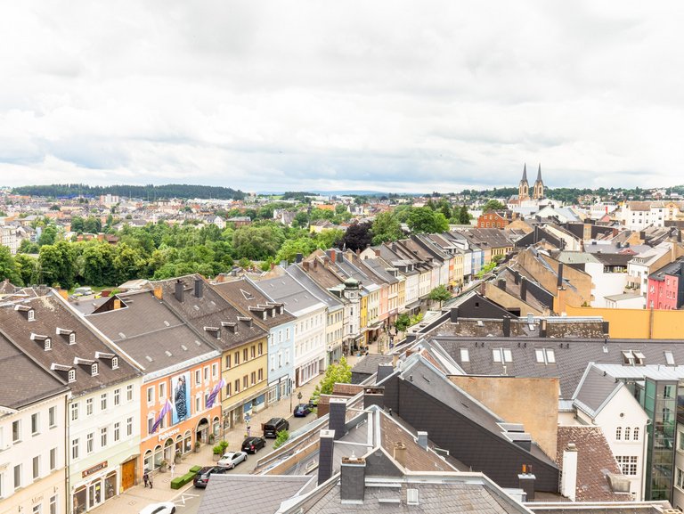
Land use plan of the city of Hof
Main features of the urban development
The land use plan (FNP) is drawn up by the city of Hof for the entire urban area and contains the main features for medium-term urban development. It shows, for example, where areas for development, traffic facilities or green spaces are planned, as well as areas for agriculture and woodland. It is kept up to date through amendments in connection with a development plan (parallel procedure).
The FNP is binding for the public planning authorities involved in its creation; in this respect, there is an obligation to adapt their own plans.
The FNP has no direct legal effect on citizens. No legal claims, such as building permits for a specific plot of land, can be derived from its depictions. However, all development plans must be developed from the FNP. Only these contain legally binding stipulations for individual properties in the urban area.
The current land use plan of the city of Hof became legally effective in October 1984 after several years of planning. Since then, a large number of partial changes have been made, whether through further development or changes to planning objectives or in parallel with development plan procedures.
You can find the current land use plan in the geoportal of the city of Hof under "Urban land use planning". To do this, select the "Land use plan" button in the topic tree under "View".
Since 1984, a total of 86 amendment procedures have been carried out and completed following approval by the Higher Regional Planning Authority (Government of Upper Franconia). The approved land use plan is continuously supplemented by the partial amendment procedures that have been approved in the meantime and is therefore up to date, so to speak. These are shown in an overview plan.